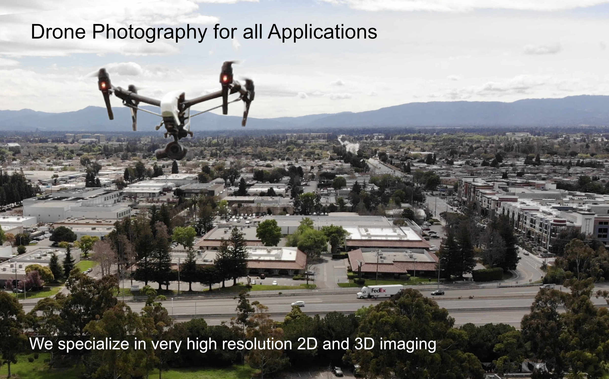
All pilots are FAA part 107 certified. Authorizations and wavers are used where needed.
Liability insurance is maintained at $1 million or more depending on client requirements.
360 Degree View Photos
Click a link below to open a new window. Zoom and pan around in 360 degree view images. Click and drag to rotate image. Recommended - Click box icon in top left screen to toggle full screen view. Use the low resolution images on low res phone or pad.
For High Res Screen - Desktop
;)
|
;)
|
;)
|
;)
|
;)
|
;)
|
For Low Res Screen - Smart Phone
;)
|
;)
|
;)
|
;)
|
;)
|
;)
|
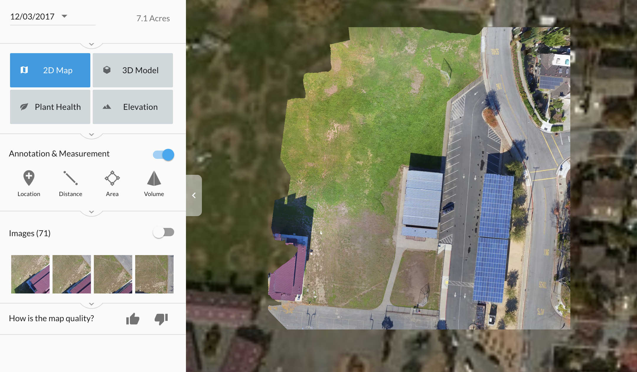
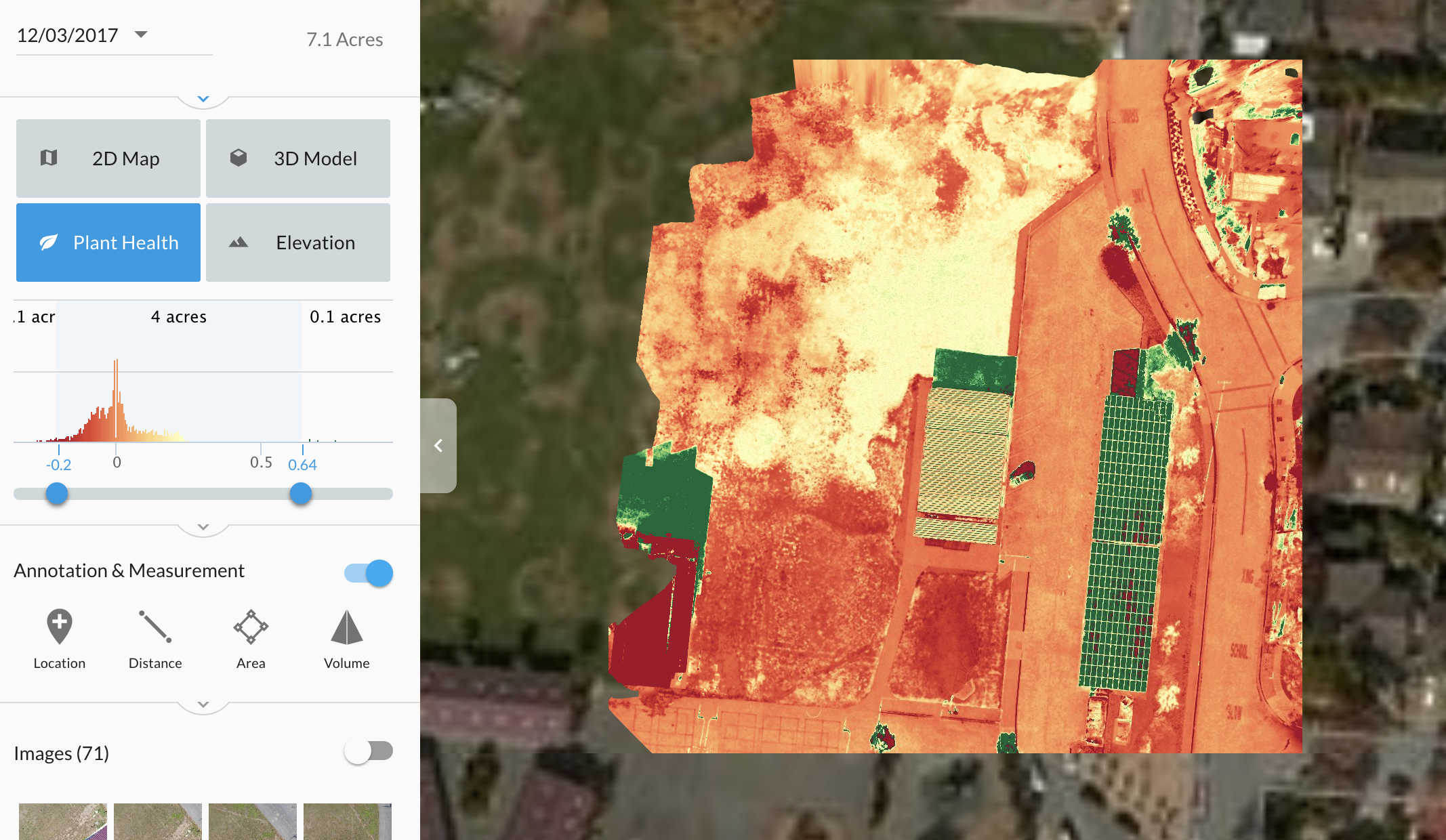
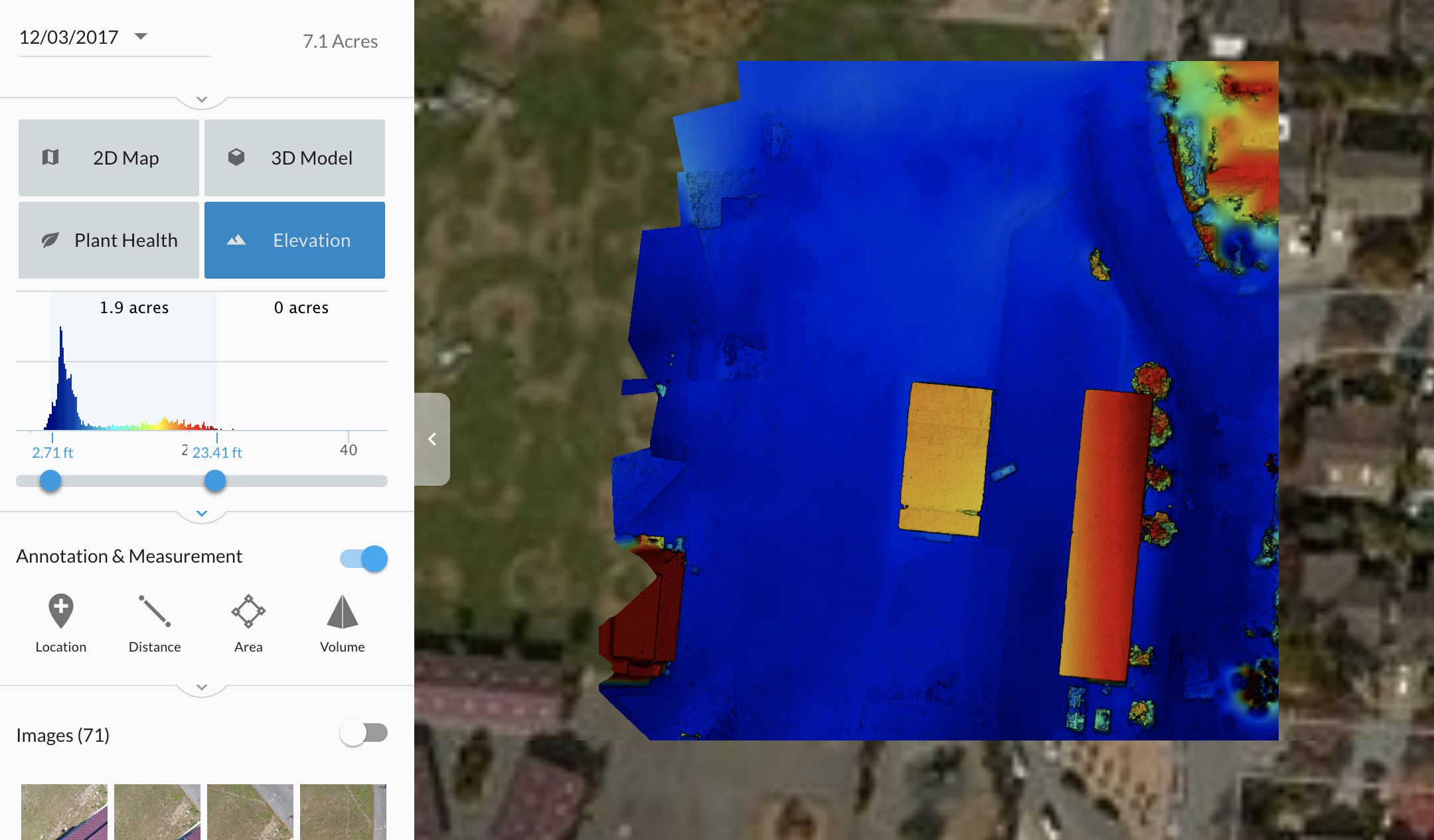
DroneDeploy Pilots
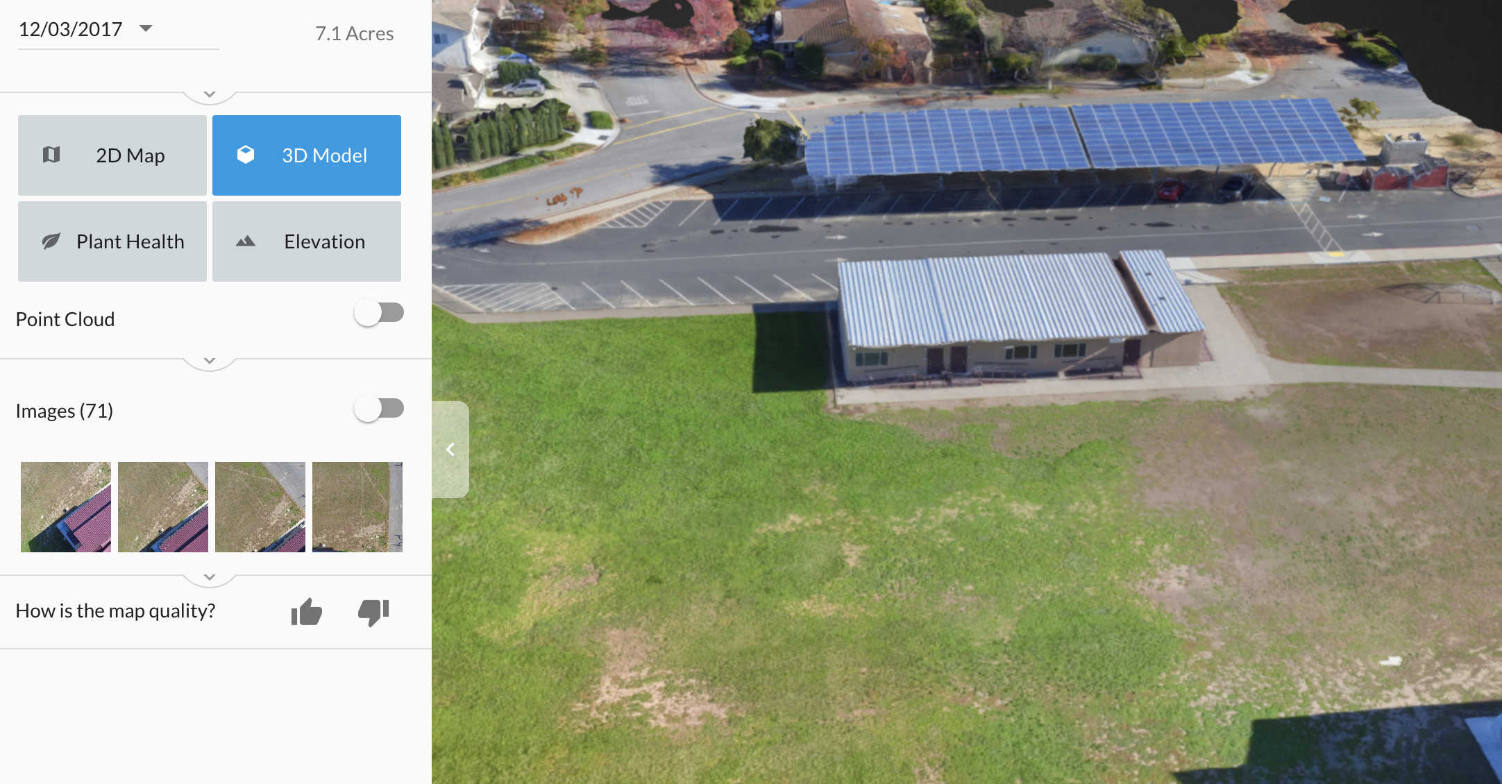
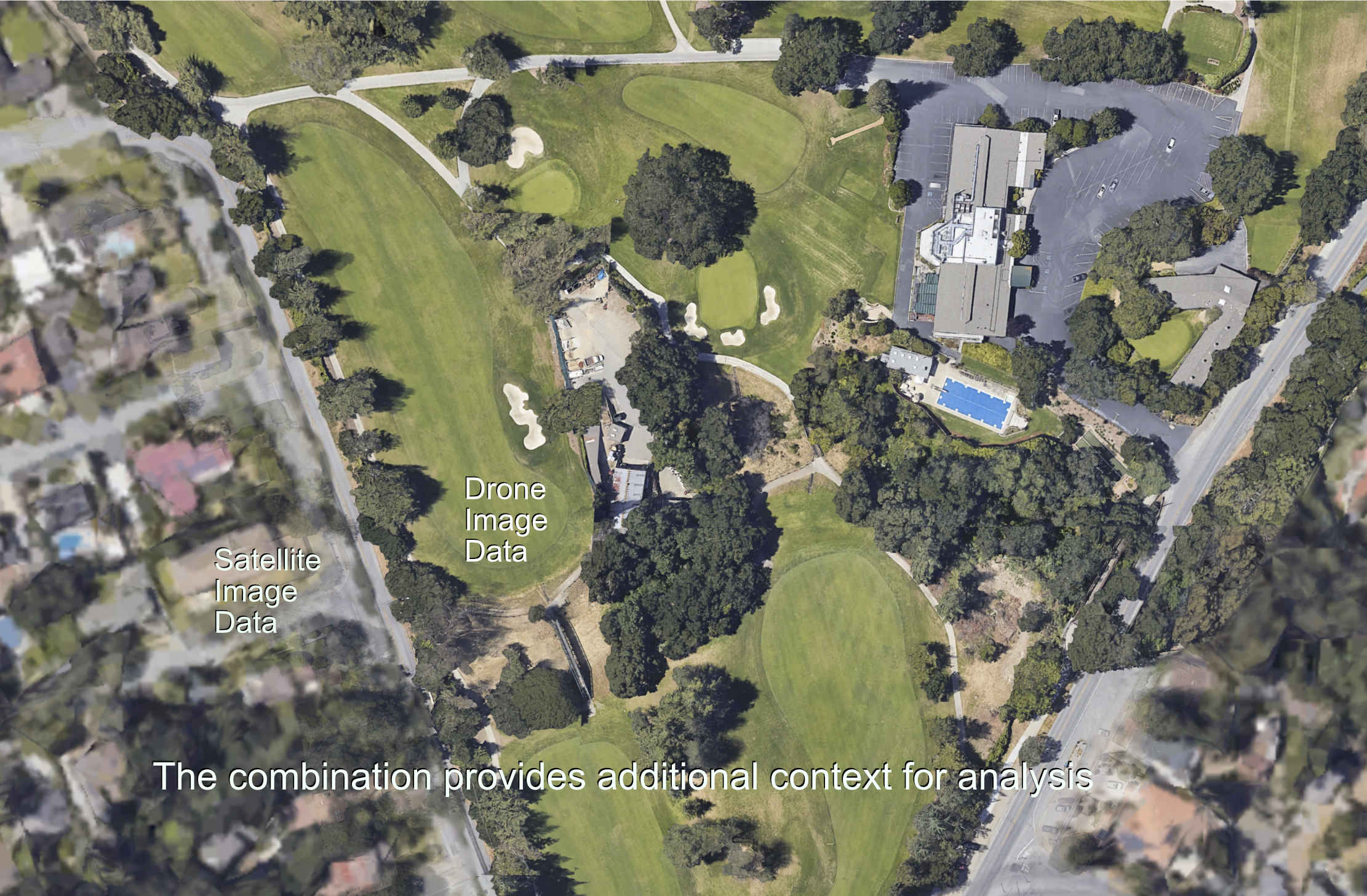
Our pilots are experienced flying the DroneDeploy and Pix4D applications. Ortho and 3D models can be produced covering the desired ground area. The images below were generated from a 71 image capture. The DroneDeploy UI is shown on the left side of the screen. Each map type has different options for distance, area, volume, and other data exports. Individual image files can be reviewed to evaluate the raw data input. Please use the Contact Us form to let us know your project requirements.
Our primary operating location is Silicon Valley. Flying outside the area is possible in California or beyond.
Test Case Examples
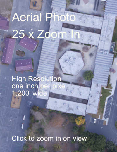
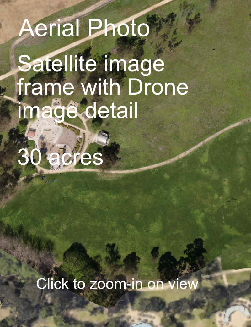
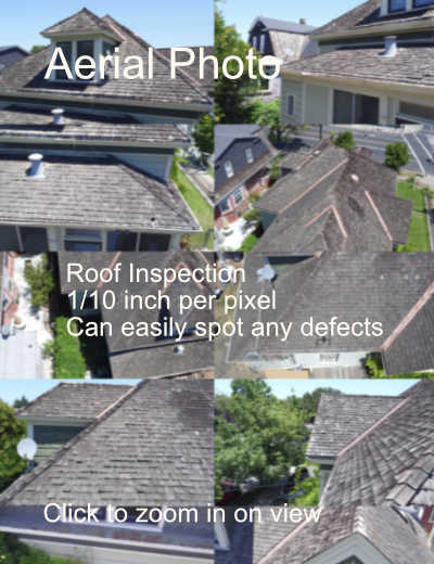
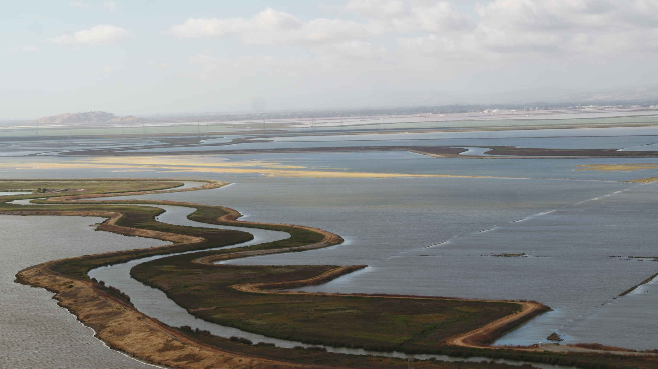
Extreme High Resolution Photography
Aerial photography can be difficult to evaluate depending on the level of detail, image quality and size. These examples are using a zoom technique similar to Google Maps to give the user the ability to zoom in on more and more detail.
;)
|
|
|
|
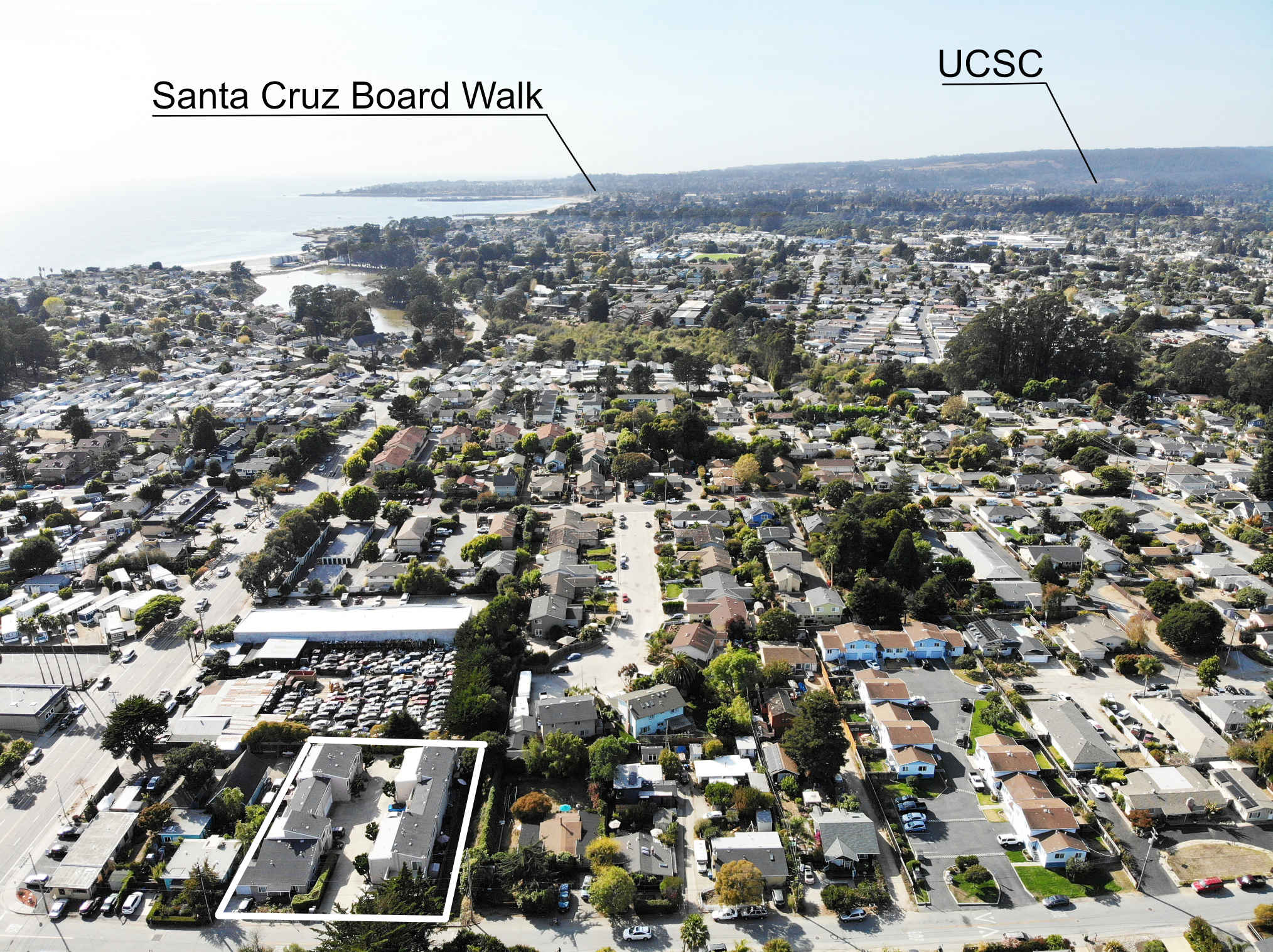
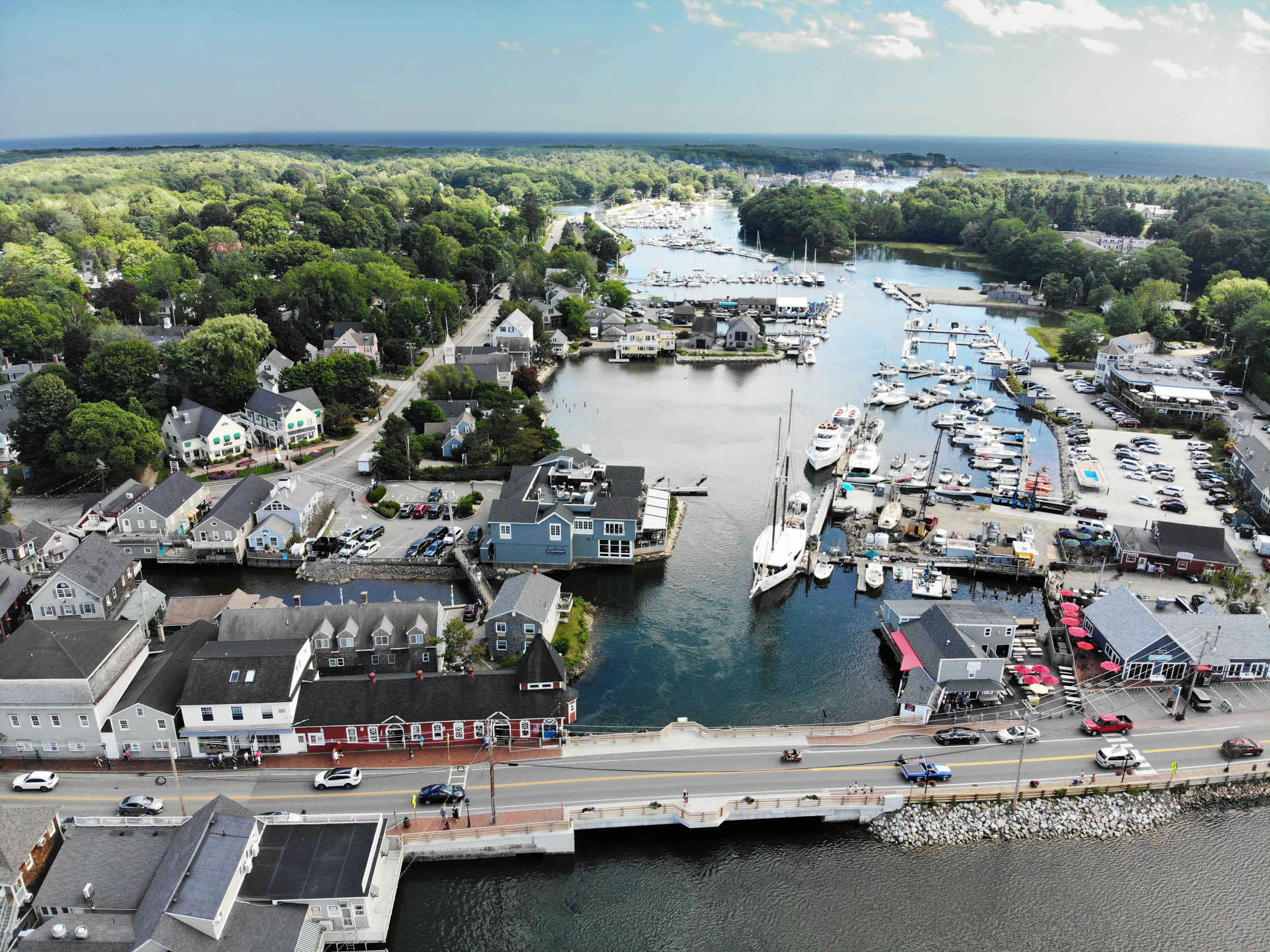
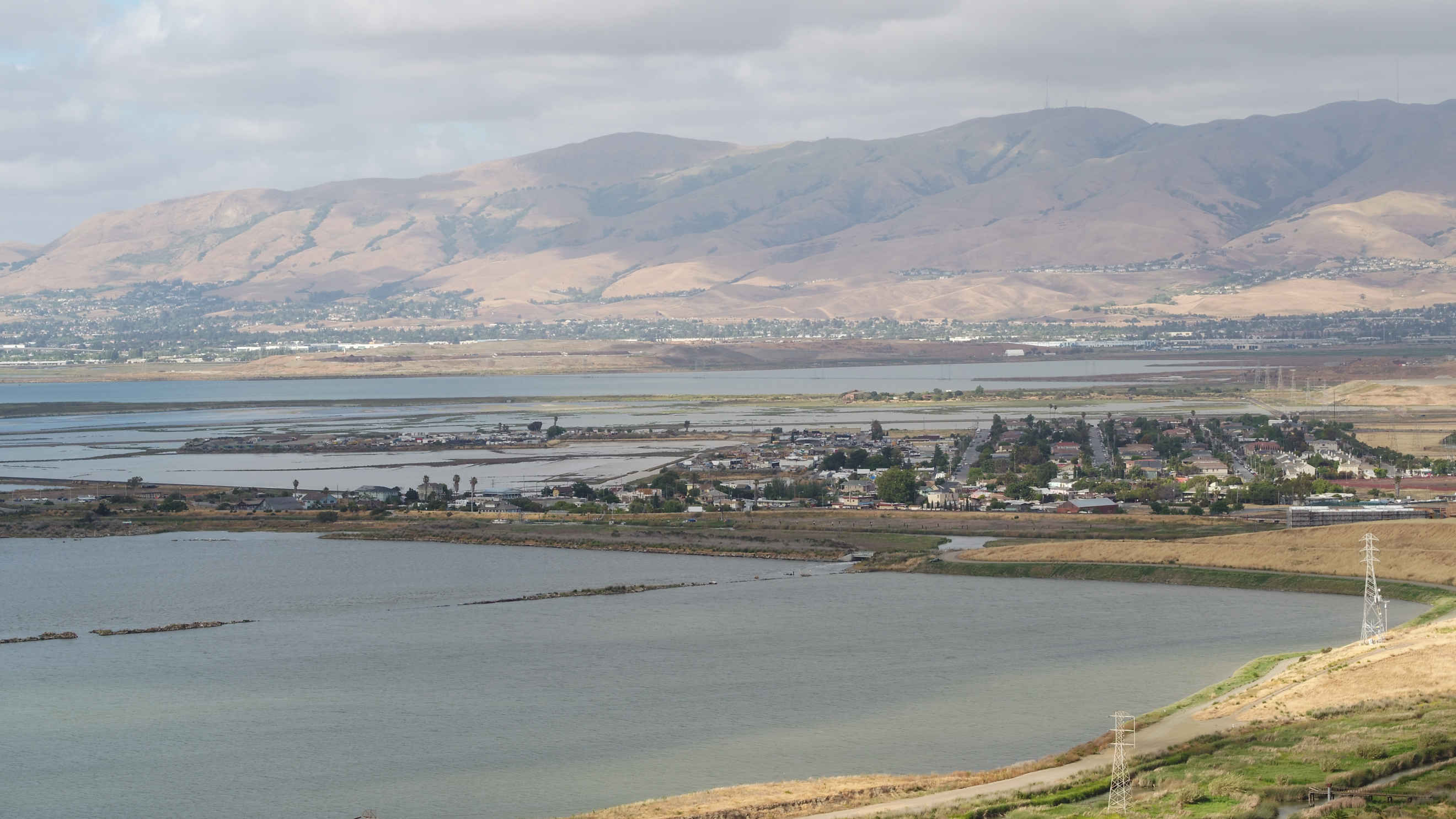
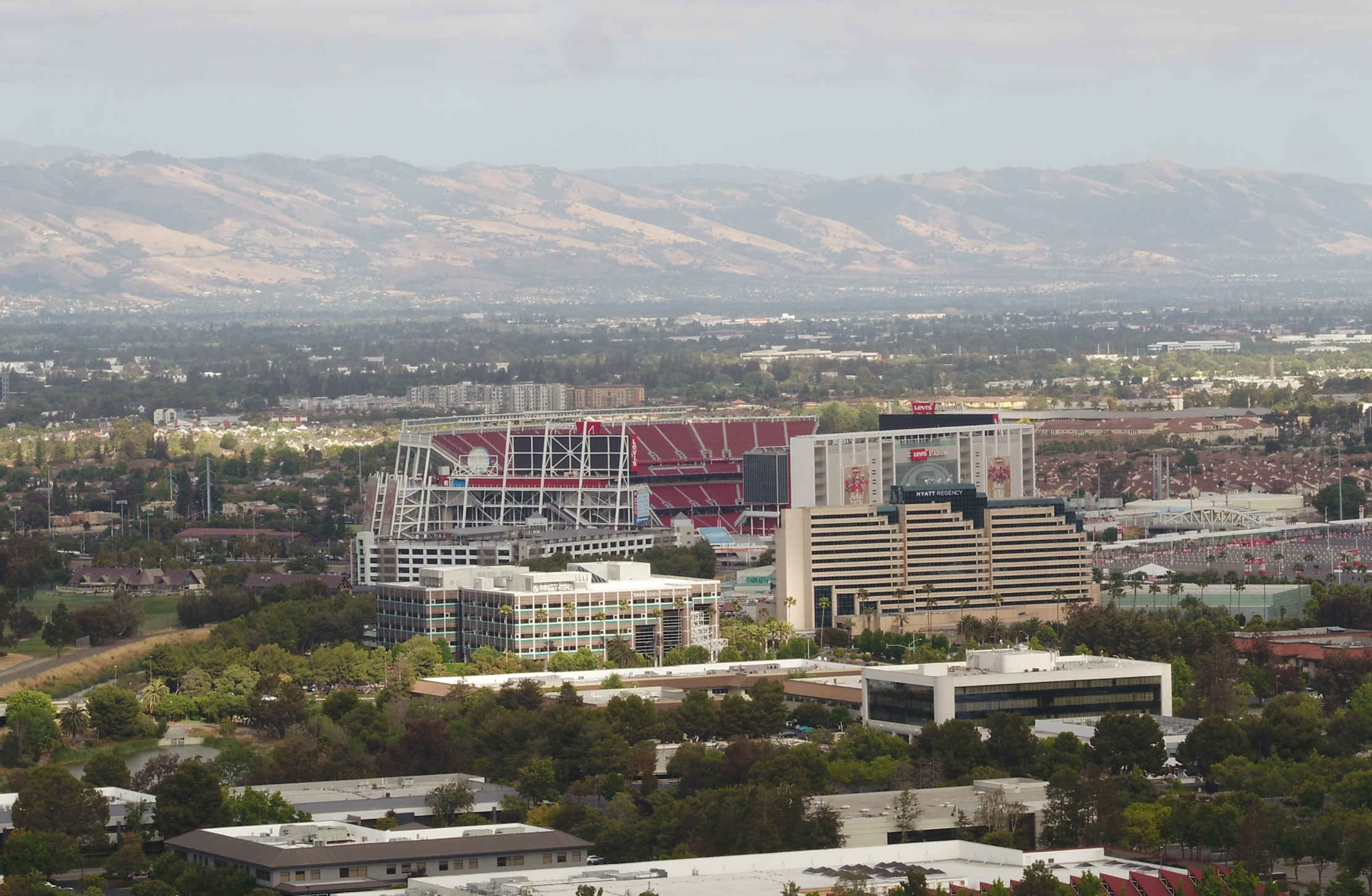
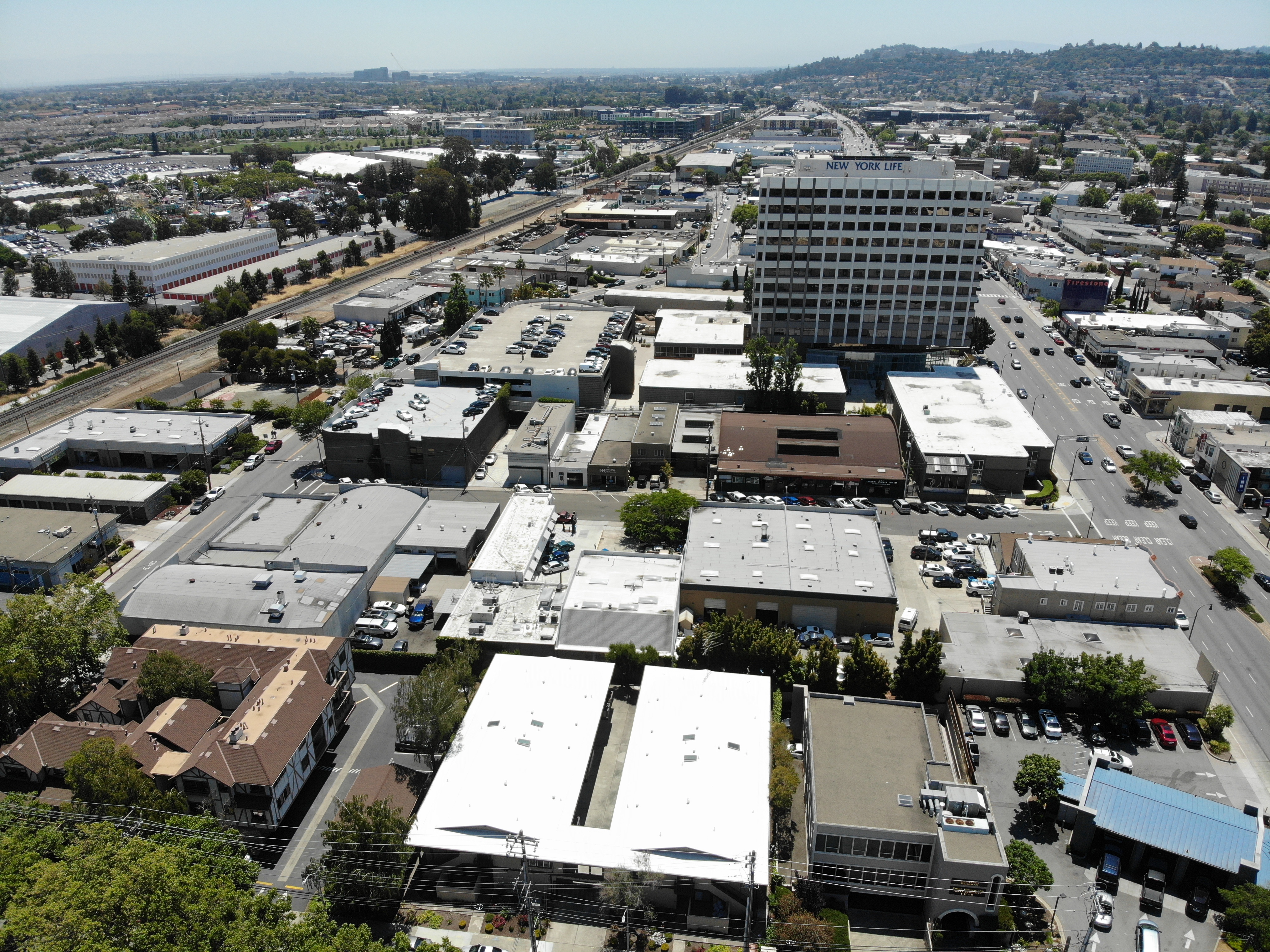
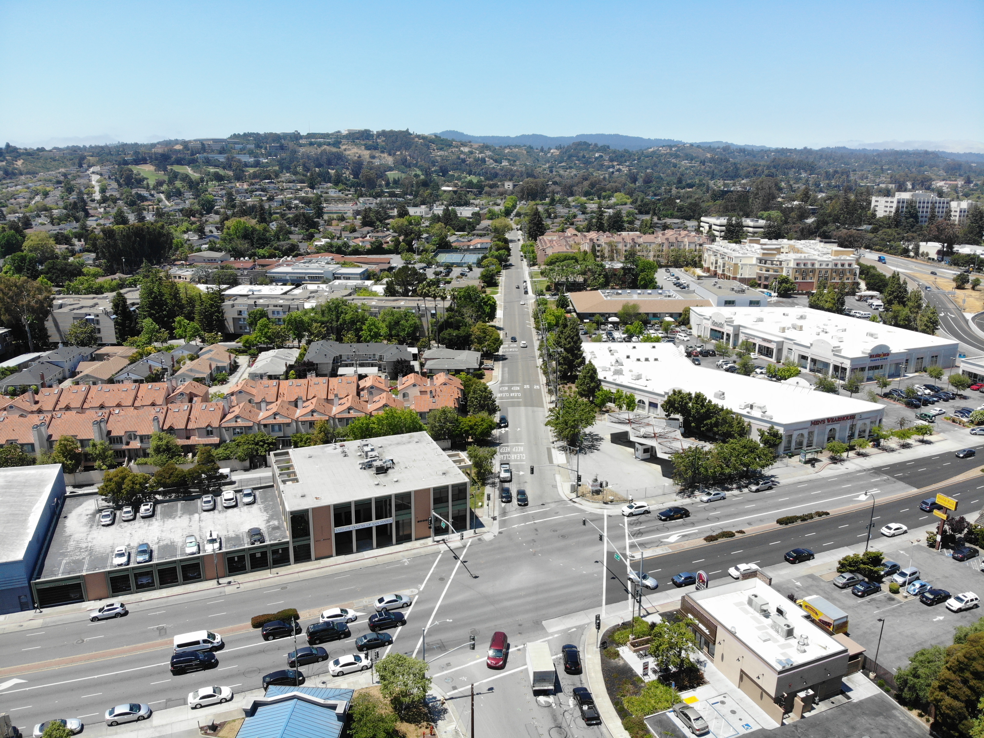
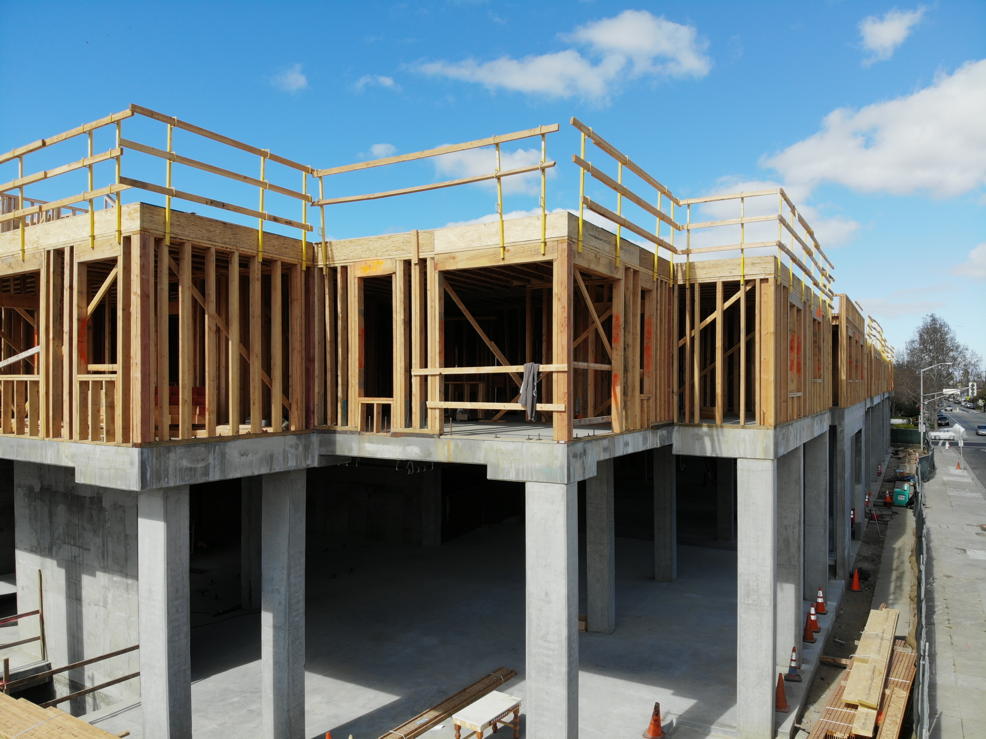
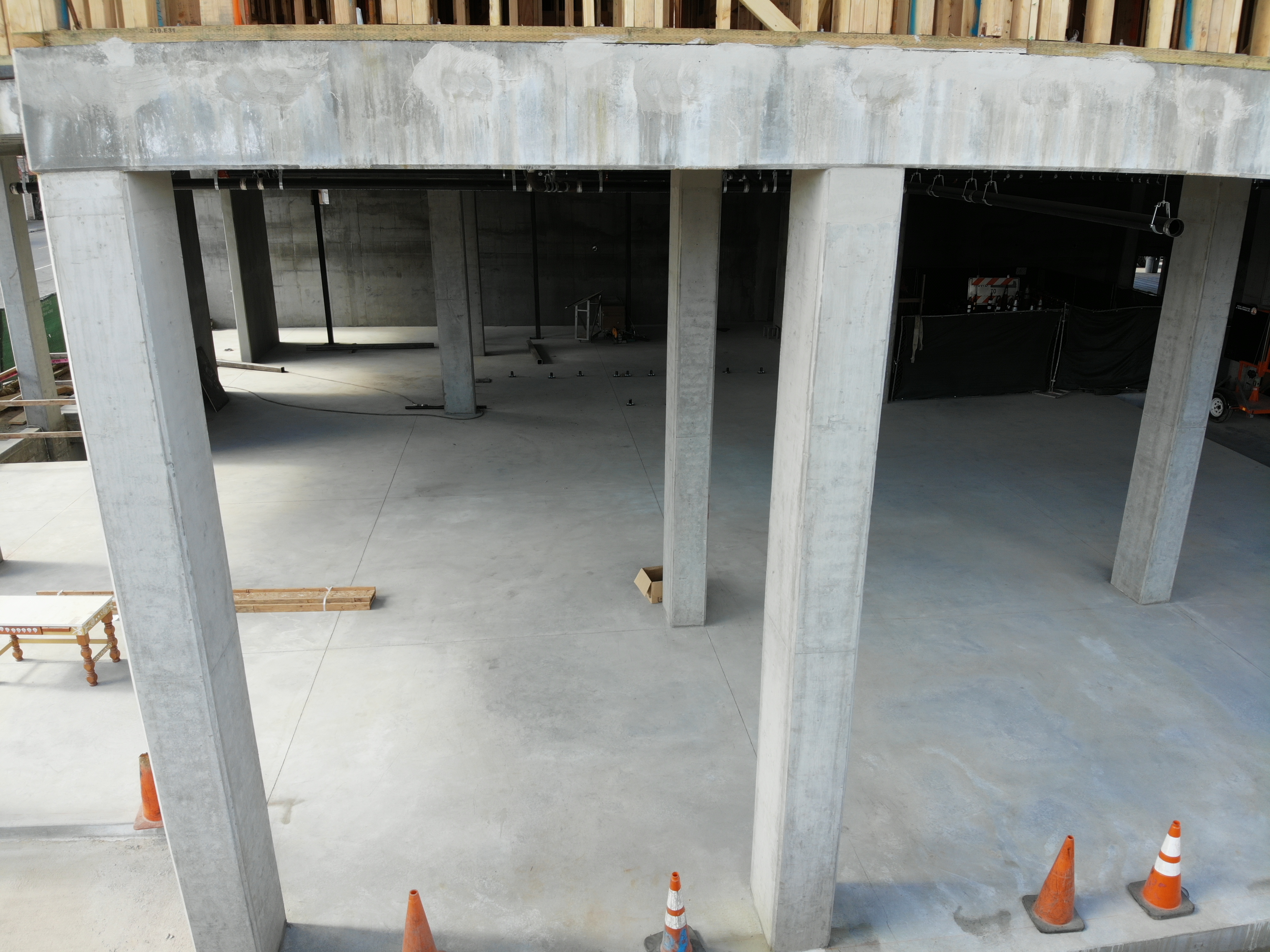
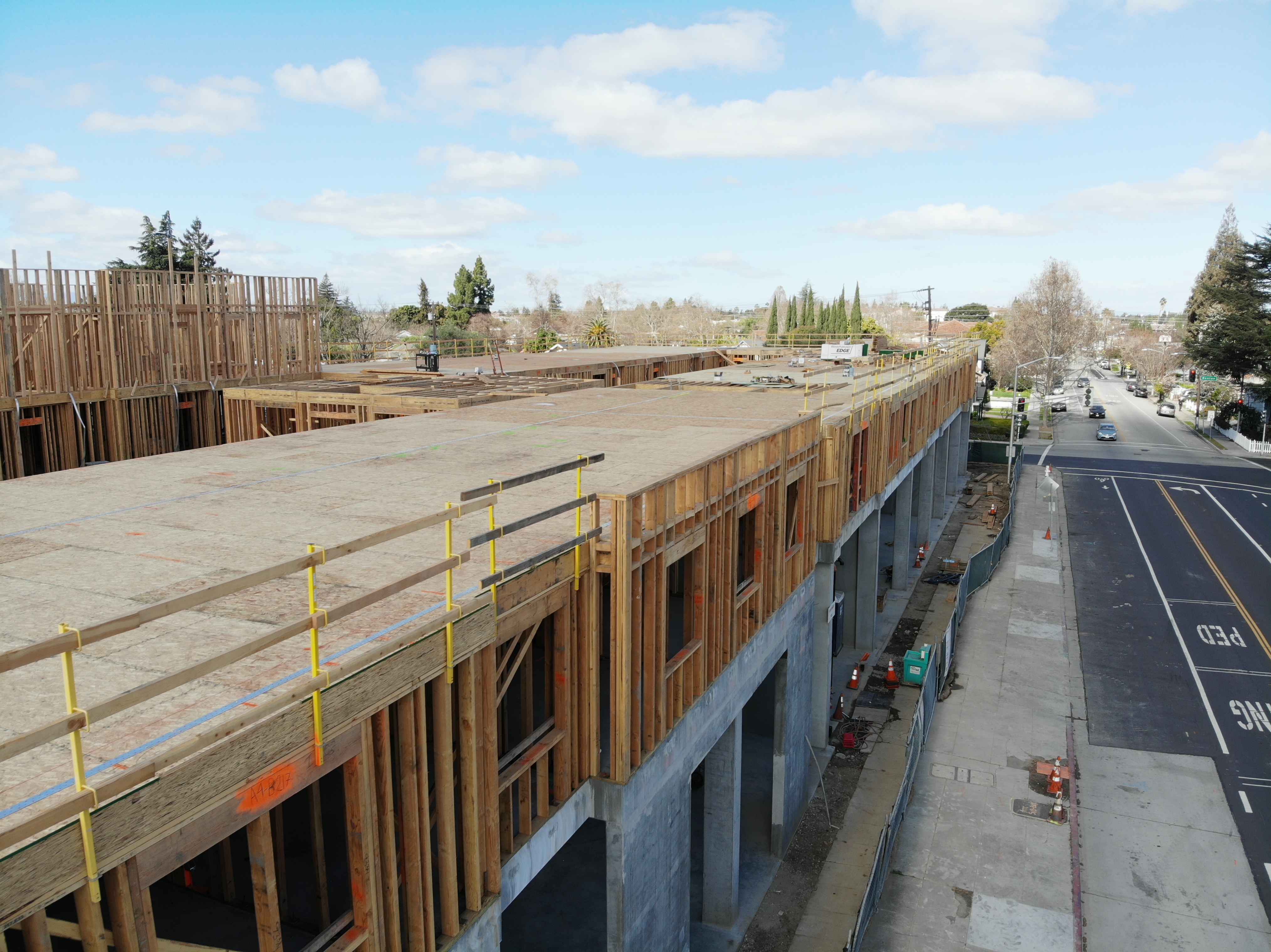
Job Samples
Here are some commercial work samples. Please use the Contact Us form if you have any questions.
 1
1
 2
2
 3
3
 4
4
 5
5
 6
6
 7
7
 8
8
 9
9
 10
10
 11
11
Contact Us Form
If you have an urgent request, please call - 408-761-3000 (West Coast) or 646-580-1245 (East Coast)